Drone and Aerial Photography
Experience
 200hrs+ Flight Time |
  1000+ Missions
 1,000,000ft+ (190mi+) Total Accumulated Distance
 50+ Orthographic Missions | Largest Map ~300 Acres | 1,000+ Acres Total
We have logged many hours of numerous flights in various enviornmental conditions including day and night, diverse locales, urban and rural, indoor and outdoor, around structural, natural, and moving robotic and machine obstacles. We have piloted drones since 2013, including DJI, HolyStone, and Parrot brands. We currently use a variety of DJI drones.
![]()
Portfolio
View our portfolio.
Pricing
Aerial (drone)
Commercial and Residential Real Estate, $250/property or $100 add-on to interior/exterior photos
Farm and Land, $10/acre (30 acre/$300 minimum)
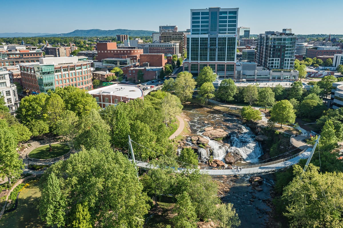
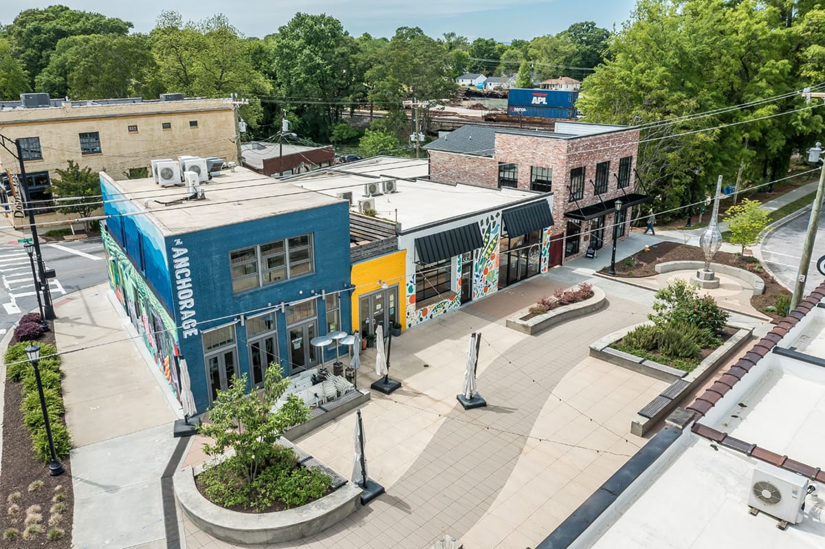
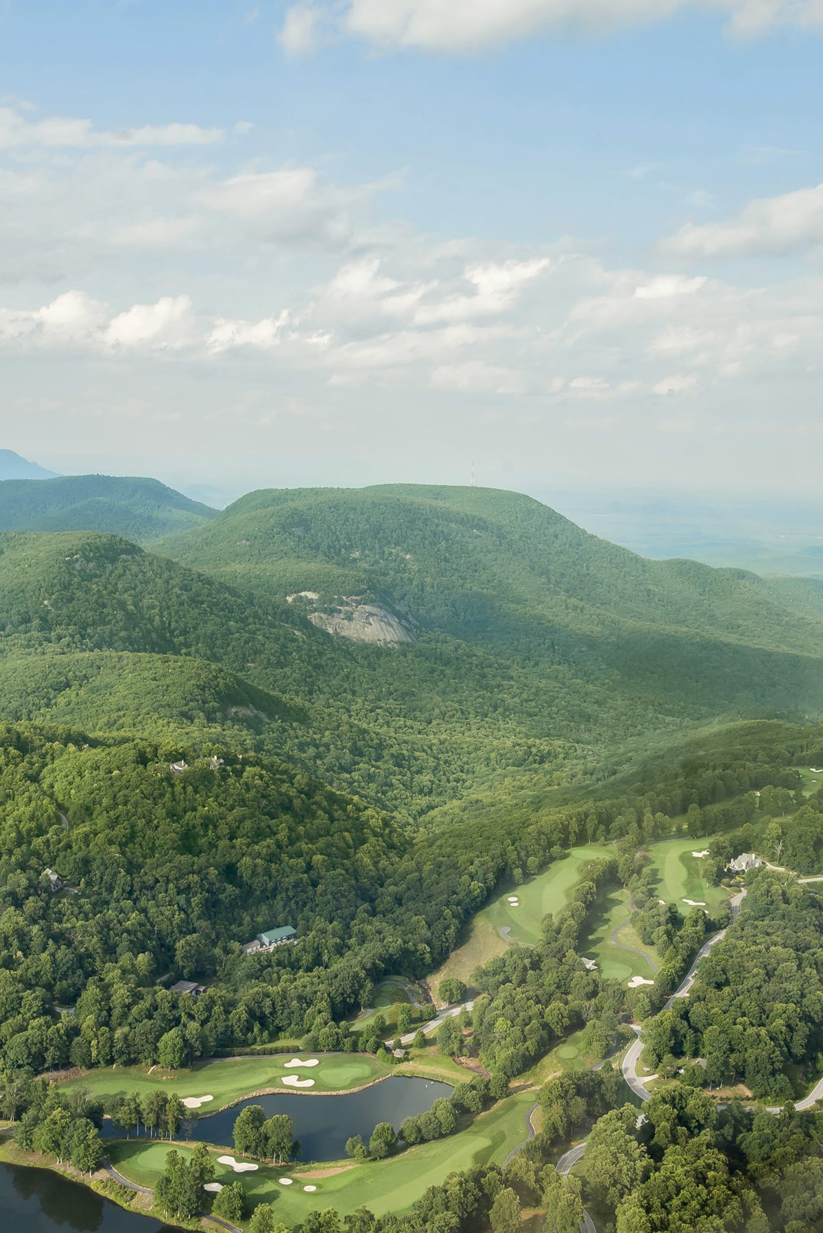
We offer professional aerial photography with commercial quality close-ups, straight down views, and other bird's eye views.
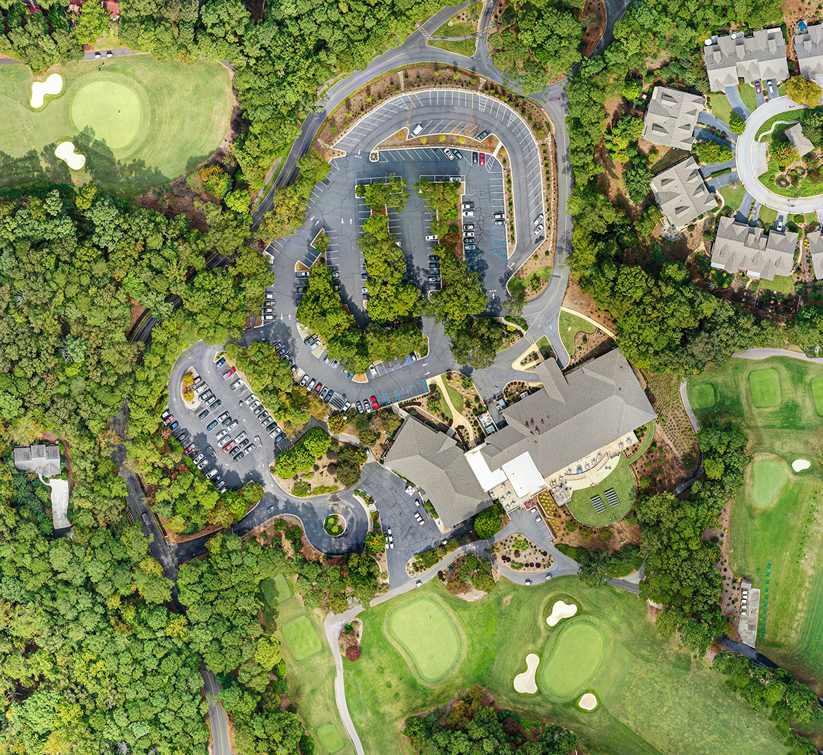
2D Orthomosaic Mapping
$10/acre (30 acre /$300 minimum)
+ $100, Elevation
+ $100, Plant Health
We provide 2D orthomosaic/orthographic mapping, including elevation and plant health, for use in agriculture, construction, landscaping, and real estate (commercial and residential).
Manned Aircraft
We are also available for manned aircraft flights such as planes and helicopters. This provides higher altitude aerial photography and the ability to produce high quality photos using a DSLR with a variety of lenses. Contact us for custom pricing.
License, Certification, Insurance, and Safety

Davey is an FAA certified Part 107 remote pilot, and is current with certification to fly at night commercialy.
![]()
Davey also has a European Union Aviation Safety Agency A1/A3 Open Sub Category Certificate, GDAC UA 375 Certificate, and UK Civil Aviation Authority flyer and operator ID.
Davey is DroneUp certified.
We have drone liability insurance coverage up to $10 million and general equipment and liability insurance.
We use a visual observer, ADS-B, live flight tracking software, and various tools such as an anemometer for mission planning and monitoring flight conditions.
©
Davey Morgan Photography